
Subansiri (Pt-I) topographic map
Interactive map
Click on the map to display elevation.
About this map
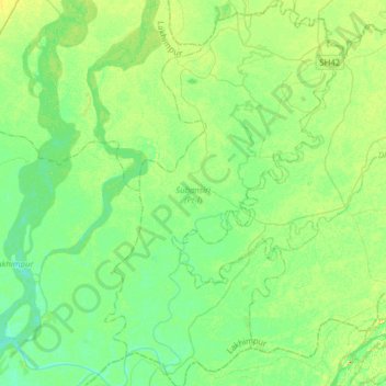
Name: Subansiri (Pt-I) topographic map, elevation, terrain.
Location: Subansiri (Pt-I), Lakhimpur, Assam, 787053, India (27.07143 94.24712 27.35168 94.44191)
Average elevation: 90 m
Minimum elevation: 78 m
Maximum elevation: 113 m
Other topographic maps
Click on a map to view its topography, its elevation and its terrain.