
Thank you for supporting this site ❤️
Make a donation
Make a donation
Sei Nanjan topographic map
Click on the map to display elevation.
Thank you for supporting this site ❤️
Make a donation
Make a donation
About this map
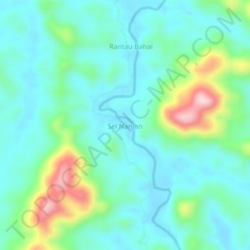
Name: Sei Nanjan topographic map, elevation, terrain.
Location: Sei Nanjan, Central Kalimantan, Indonesia (-1.11874 112.40012 -1.07874 112.44012)
Average elevation: 156 m
Minimum elevation: 83 m
Maximum elevation: 394 m
Thank you for supporting this site ❤️
Make a donation
Make a donation