
Gemeinde Weiten topographic map
Interactive map
Click on the map to display elevation.
About this map
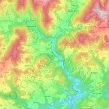
Name: Gemeinde Weiten topographic map, elevation, terrain.
Average elevation: 514 m
Minimum elevation: 271 m
Maximum elevation: 821 m
Other topographic maps
Click on a map to view its topography, its elevation and its terrain.
Seiterndorf
Österreich > Niederösterreich > Bezirk Melk > Gemeinde Weiten
Seiterndorf, Gemeinde Weiten, Bezirk Melk, Niederösterreich, 3653, Österreich
Average elevation: 502 m