
Jispa topographic map
Interactive map
Click on the map to display elevation.
About this map
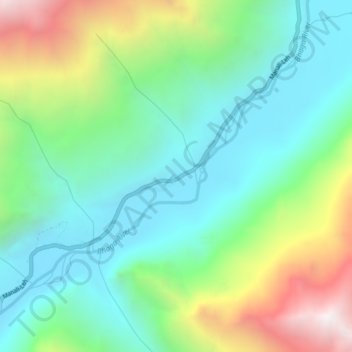
Name: Jispa topographic map, elevation, terrain.
Location: Jispa, Lahul, Lahul and Spiti, Himachal Pradesh, India (32.62102 77.16912 32.66102 77.20912)
Average elevation: 3,754 m
Minimum elevation: 3,238 m
Maximum elevation: 4,929 m