
新島村 topographic map
Interactive map
Click on the map to display elevation.
About this map
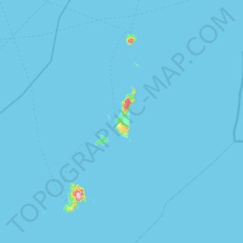
Name: 新島村 topographic map, elevation, terrain.
Location: 新島村, 大島支庁, Tokyo, Japon (34.20317 138.97235 34.52203 139.54481)
Average elevation: 3 m
Minimum elevation: 0 m
Maximum elevation: 554 m