
Rameshwar topographic map
Interactive map
Click on the map to display elevation.
About this map
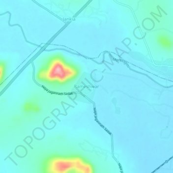
Name: Rameshwar topographic map, elevation, terrain.
Location: Rameshwar, Khordha, Odisha, 752020, India (19.99874 85.50370 20.03874 85.54370)
Average elevation: 23 m
Minimum elevation: 8 m
Maximum elevation: 145 m