
Sattarpur topographic map
Interactive map
Click on the map to display elevation.
About this map
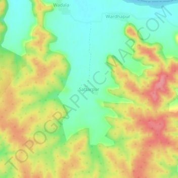
Name: Sattarpur topographic map, elevation, terrain.
Location: Sattarpur, Ashti, Wardha, Maharashtra, India (21.29201 78.12399 21.33201 78.16399)
Average elevation: 376 m
Minimum elevation: 336 m
Maximum elevation: 421 m
Other topographic maps
Click on a map to view its topography, its elevation and its terrain.