
Kakkayangad topographic map
Interactive map
Click on the map to display elevation.
About this map
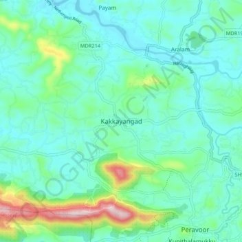
Name: Kakkayangad topographic map, elevation, terrain.
Location: Kakkayangad, Iritty, Kannur District, Kerala, 670673, India (11.89729 75.66647 11.97729 75.74647)
Average elevation: 94 m
Minimum elevation: 23 m
Maximum elevation: 370 m
Other topographic maps
Click on a map to view its topography, its elevation and its terrain.