
Liptovská Teplička topographic map
Interactive map
Click on the map to display elevation.
About this map
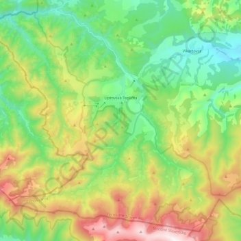
Name: Liptovská Teplička topographic map, elevation, terrain.
Location: Liptovská Teplička, District of Poprad, Slovakia (48.88920 19.96355 49.01719 20.17566)
Average elevation: 1,139 m
Minimum elevation: 708 m
Maximum elevation: 1,935 m
The municipality lies at an elevation of 919 metres (3,015 ft) and covers an area of 98.69 km² (38.10 mi²). It has a population of about 2270 people.