
Lenore topographic map
Interactive map
Click on the map to display elevation.
About this map
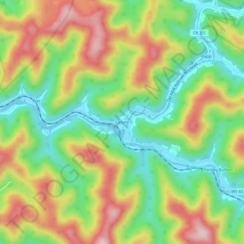
Name: Lenore topographic map, elevation, terrain.
Location: Lenore, Mingo County, West Virginia, 25676, United States (37.77899 -82.30681 37.81899 -82.26681)
Average elevation: 318 m
Minimum elevation: 188 m
Maximum elevation: 483 m