
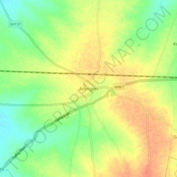
Annigeri topographic map
Interactive map
Click on the map to display elevation.
About this map
Name: Annigeri topographic map, elevation, terrain.
Average elevation: 622 m
Minimum elevation: 601 m
Maximum elevation: 642 m
Annigeri is located at 15°26′N 75°26′E / 15.43°N 75.43°E / 15.43; 75.43. It has an average elevation of 624 metres (2047 feet).