
Rogery topographic map
Interactive map
Click on the map to display elevation.
About this map
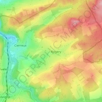
Name: Rogery topographic map, elevation, terrain.
Location: Rogery, Gouvy, Bastogne, Luxembourg, Wallonia, 6671, Belgium (50.22219 5.93025 50.26219 5.97025)
Average elevation: 485 m
Minimum elevation: 409 m
Maximum elevation: 562 m