
Thank you for supporting this site ❤️
Make a donation
Make a donation
Speed topographic map
Click on the map to display elevation.
Thank you for supporting this site ❤️
Make a donation
Make a donation
About this map
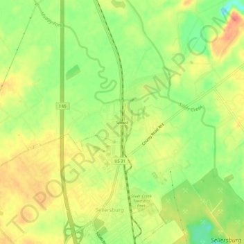
Name: Speed topographic map, elevation, terrain.
Location: Speed, Clark County, Indiana, 47172, United States (38.39229 -85.77246 38.43229 -85.73246)
Average elevation: 147 m
Minimum elevation: 117 m
Maximum elevation: 170 m
Thank you for supporting this site ❤️
Make a donation
Make a donation