
Thank you for supporting this site ❤️
Make a donation
Make a donation
West Yellowstone topographic map
Click on the map to display elevation.
Thank you for supporting this site ❤️
Make a donation
Make a donation
About this map
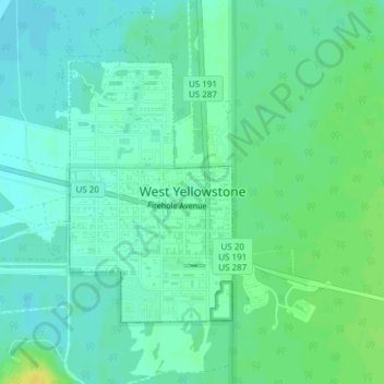
Name: West Yellowstone topographic map, elevation, terrain.
Location: West Yellowstone, Gallatin County, Montana, United States (44.65402 -111.11331 44.67239 -111.09720)
Average elevation: 2,034 m
Minimum elevation: 2,027 m
Maximum elevation: 2,048 m
Thank you for supporting this site ❤️
Make a donation
Make a donation