
Guará topographic map
Interactive map
Click on the map to display elevation.
About this map
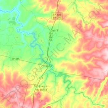
Name: Guará topographic map, elevation, terrain.
Average elevation: 634 m
Minimum elevation: 503 m
Maximum elevation: 810 m
Guará is a municipality situated in the northern part of the state of São Paulo in Brazil. The population is 21,308 (2020 est.) in an area of 362 km2. The elevation is 573 m.