
Thank you for supporting this site ❤️
Make a donation
Make a donation
Agha topographic map
Click on the map to display elevation.
Thank you for supporting this site ❤️
Make a donation
Make a donation
About this map
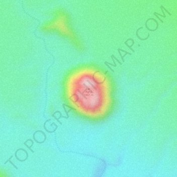
Name: Agha topographic map, elevation, terrain.
Location: Agha, Tchirozérine, Agadez, Niger (17.70515 8.55327 17.70525 8.55337)
Average elevation: 1,203 m
Minimum elevation: 1,117 m
Maximum elevation: 1,468 m
Thank you for supporting this site ❤️
Make a donation
Make a donation