บ้านท่าทุ่ม topographic map
Interactive map
Click on the map to display elevation.
About this map
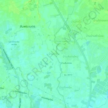
Name: บ้านท่าทุ่ม topographic map, elevation, terrain.
Average elevation: 306 m
Minimum elevation: 301 m
Maximum elevation: 311 m

Click on the map to display elevation.
Name: บ้านท่าทุ่ม topographic map, elevation, terrain.
Average elevation: 306 m
Minimum elevation: 301 m
Maximum elevation: 311 m