
Schimmert topographic map
Interactive map
Click on the map to display elevation.
About this map
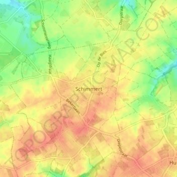
Name: Schimmert topographic map, elevation, terrain.
Location: Schimmert, Beekdaelen, Limburg, Niederlande, 6333, Niederlande (50.88655 5.80459 50.92655 5.84459)
Average elevation: 125 m
Minimum elevation: 97 m
Maximum elevation: 143 m