
Chennur topographic map
Interactive map
Click on the map to display elevation.
About this map
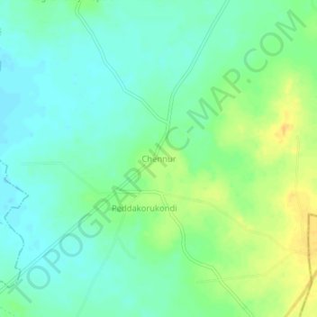
Name: Chennur topographic map, elevation, terrain.
Location: Chennur, Kalluru mandal, Khammam, Telangana, 507209, India (17.10800 80.47438 17.14800 80.51438)
Average elevation: 93 m
Minimum elevation: 82 m
Maximum elevation: 111 m