
Thank you for supporting this site ❤️
Make a donation
Make a donation
Isla Smith topographic map
Click on the map to display elevation.
Thank you for supporting this site ❤️
Make a donation
Make a donation
About this map
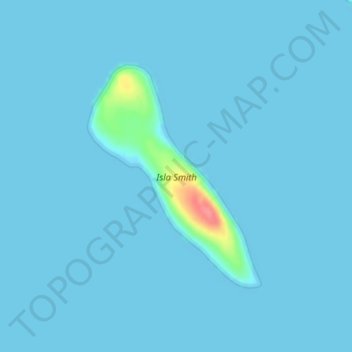
Name: Isla Smith topographic map, elevation, terrain.
Location: Isla Smith, Aysén, Provincia de Aysén, Aysén Region, Chile (-46.78591 -75.19558 -46.76882 -75.17617)
Average elevation: 3 m
Minimum elevation: 0 m
Maximum elevation: 77 m
Thank you for supporting this site ❤️
Make a donation
Make a donation