
Thank you for supporting this site ❤️
Make a donation
Make a donation
Nagana topographic map
Click on the map to display elevation.
Thank you for supporting this site ❤️
Make a donation
Make a donation
About this map
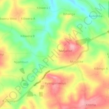
Name: Nagana topographic map, elevation, terrain.
Location: Nagana, Kagadi, Western Region, Uganda (0.98417 30.85389 1.02417 30.89389)
Average elevation: 1,175 m
Minimum elevation: 1,106 m
Maximum elevation: 1,241 m
Thank you for supporting this site ❤️
Make a donation
Make a donation