
Thank you for supporting this site ❤️
Make a donation
Make a donation
Drumshanbo topographic map
Click on the map to display elevation.
Thank you for supporting this site ❤️
Make a donation
Make a donation
About this map
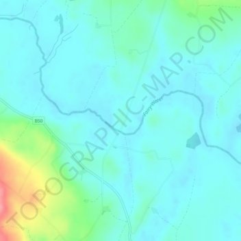
Name: Drumshanbo topographic map, elevation, terrain.
Average elevation: 84 m
Minimum elevation: 66 m
Maximum elevation: 161 m
Thank you for supporting this site ❤️
Make a donation
Make a donation
Other topographic maps
Click on a map to view its topography, its elevation and its terrain.
Clonfeacle (Tyrone portion)
United Kingdom > Northern Ireland > County Tyrone > Moygashel
Average elevation: 62 m
Loughmacrory
United Kingdom > Northern Ireland > County Tyrone > Loughmacrory
Average elevation: 190 m
Thank you for supporting this site ❤️
Make a donation
Make a donation