
Thank you for supporting this site ❤️
Make a donation
Make a donation
Usi topographic map
Click on the map to display elevation.
Thank you for supporting this site ❤️
Make a donation
Make a donation
About this map
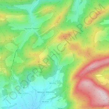
Name: Usi topographic map, elevation, terrain.
Location: Usi, Juslapeña, Comarca de Pamplona, Navarra, 31193, España (42.89267 -1.69986 42.93267 -1.65986)
Average elevation: 668 m
Minimum elevation: 492 m
Maximum elevation: 926 m
Thank you for supporting this site ❤️
Make a donation
Make a donation