
Gorra topographic map
Interactive map
Click on the map to display elevation.
About this map
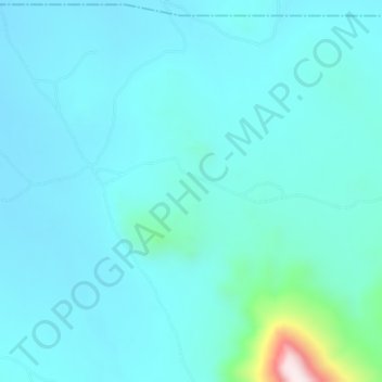
Name: Gorra topographic map, elevation, terrain.
Location: Gorra, Mayo-Belwa, Adamawa, Nigeria (9.14667 11.74667 9.18667 11.78667)
Average elevation: 343 m
Minimum elevation: 279 m
Maximum elevation: 835 m