
Winslow topographic map
Interactive map
Click on the map to display elevation.
About this map
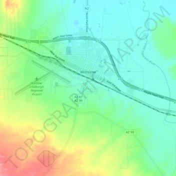
Name: Winslow topographic map, elevation, terrain.
Location: Winslow, Navajo County, Arizona, United States of America (34.98048 -110.75069 35.05334 -110.65353)
Average elevation: 1,495 m
Minimum elevation: 1,470 m
Maximum elevation: 1,553 m