
Thank you for supporting this site ❤️
Make a donation
Make a donation
Szarvas topographic map
Click on the map to display elevation.
Thank you for supporting this site ❤️
Make a donation
Make a donation
About this map
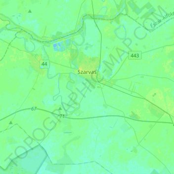
Name: Szarvas topographic map, elevation, terrain.
Location: Szarvas, Szarvasi járás, Békés, South Great Plain, Hungary (46.77317 20.48510 46.92149 20.72910)
Average elevation: 83 m
Minimum elevation: 79 m
Maximum elevation: 90 m
Thank you for supporting this site ❤️
Make a donation
Make a donation
Other topographic maps
Click on a map to view its topography, its elevation and its terrain.