
Grammetal topographic map
Interactive map
Click on the map to display elevation.
About this map
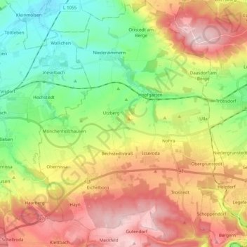
Name: Grammetal topographic map, elevation, terrain.
Location: Grammetal, Landkreis Weimarer Land, Turíngia, 99428, Alemanha (50.91208 11.13404 51.03263 11.28603)
Average elevation: 310 m
Minimum elevation: 175 m
Maximum elevation: 480 m