
Thank you for supporting this site ❤️
Make a donation
Make a donation
Narayanpur topographic map
Click on the map to display elevation.
Thank you for supporting this site ❤️
Make a donation
Make a donation
About this map
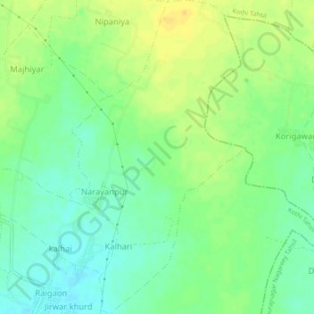
Name: Narayanpur topographic map, elevation, terrain.
Location: Narayanpur, Kothi Tahsil, Satna, Madhya Pradesh, India (24.65272 80.69632 24.69081 80.71985)
Average elevation: 328 m
Minimum elevation: 316 m
Maximum elevation: 341 m
Thank you for supporting this site ❤️
Make a donation
Make a donation