
Limerlé topographic map
Interactive map
Click on the map to display elevation.
About this map
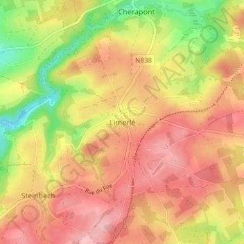
Name: Limerlé topographic map, elevation, terrain.
Location: Limerlé, Gouvy, Bastogne, Luxembourg, Wallonie, 6670, Belgique (50.13695 5.90380 50.17695 5.94380)
Average elevation: 473 m
Minimum elevation: 393 m
Maximum elevation: 527 m