
Thank you for supporting this site ❤️
Make a donation
Make a donation
Obion County topographic map
Click on the map to display elevation.
Thank you for supporting this site ❤️
Make a donation
Make a donation
About this map
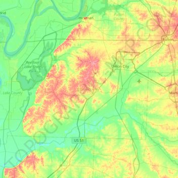
Name: Obion County topographic map, elevation, terrain.
Location: Obion County, West Tennessee, Tennessee, United States (36.20164 -89.48583 36.50723 -88.81402)
Average elevation: 103 m
Minimum elevation: 75 m
Maximum elevation: 164 m
Thank you for supporting this site ❤️
Make a donation
Make a donation
Other topographic maps
Click on a map to view its topography, its elevation and its terrain.