
唐王街道 topographic map
Interactive map
Click on the map to display elevation.
About this map
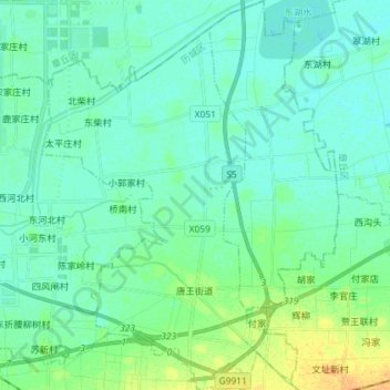
Name: 唐王街道 topographic map, elevation, terrain.
Location: 唐王街道, 历城区, 济南市, 山东省, 250100, 中国 (36.76670 117.23223 36.88242 117.34232)
Average elevation: 25 m
Minimum elevation: 18 m
Maximum elevation: 45 m
Other topographic maps
Click on a map to view its topography, its elevation and its terrain.