
KM. 19 topographic map
Interactive map
Click on the map to display elevation.
About this map
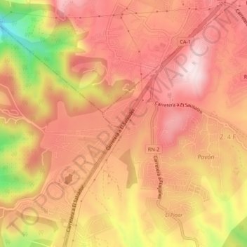
Name: KM. 19 topographic map, elevation, terrain.
Location: KM. 19, Fraijanes, Guatemala, 01051, Guatemala (14.50005 -90.49129 14.54005 -90.45129)
Average elevation: 1,851 m
Minimum elevation: 1,562 m
Maximum elevation: 1,992 m