
Hòa Phú topographic map
Interactive map
Click on the map to display elevation.
About this map
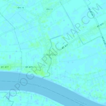
Name: Hòa Phú topographic map, elevation, terrain.
Location: Hòa Phú, Huyện Gò Công Tây, Province de Tiền Giang, Viêt Nam (10.27772 106.60896 10.31772 106.64896)
Average elevation: 2 m
Minimum elevation: -3 m
Maximum elevation: 8 m