
Kampil topographic map
Click on the map to display elevation.
About this map
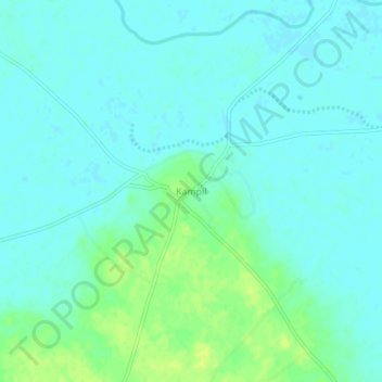
Name: Kampil topographic map, elevation, terrain.
Location: Kampil, Kaimganj, Farrukhabad District, Uttar Pradesh, India (27.59228 79.25866 27.63228 79.29866)
Average elevation: 151 m
Minimum elevation: 146 m
Maximum elevation: 163 m