
Shitlakhet topographic map
Click on the map to display elevation.
About this map
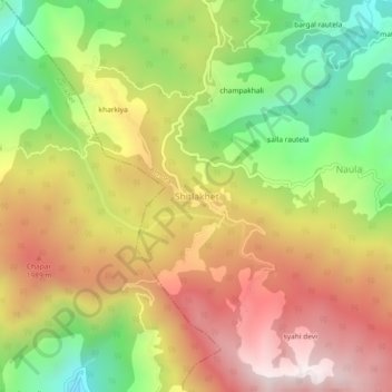
Name: Shitlakhet topographic map, elevation, terrain.
Location: Shitlakhet, Almora, Uttarakhand, 263678, India (29.57442 79.52376 29.61442 79.56376)
Average elevation: 1,723 m
Minimum elevation: 1,250 m
Maximum elevation: 2,187 m