
Hooglanderveen topographic map
Interactive map
Click on the map to display elevation.
About this map
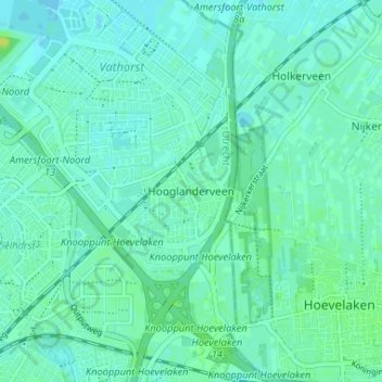
Name: Hooglanderveen topographic map, elevation, terrain.
Location: Hooglanderveen, Utrecht, Nederland, 3829, Nederland (52.16767 5.41231 52.20767 5.45231)
Average elevation: 4 m
Minimum elevation: 0 m
Maximum elevation: 13 m