
kolleru park area topographic map
Interactive map
Click on the map to display elevation.
About this map
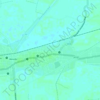
Name: kolleru park area topographic map, elevation, terrain.
Average elevation: 4 m
Minimum elevation: 1 m
Maximum elevation: 7 m
Other topographic maps
Click on a map to view its topography, its elevation and its terrain.
Akividu
India > Andhra Pradesh > Akividu
Akividu, West Godavari, Andhra Pradesh, 534235, India
Average elevation: 5 m