
Mills County topographic map
Interactive map
Click on the map to display elevation.
About this map
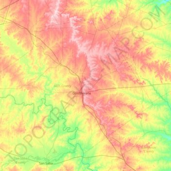
Name: Mills County topographic map, elevation, terrain.
Location: Mills County, Texas, Vereinigte Staaten von Amerika (31.23045 -98.99414 31.72525 -98.26680)
Average elevation: 429 m
Minimum elevation: 317 m
Maximum elevation: 563 m