
Sangama topographic map
Interactive map
Click on the map to display elevation.
About this map
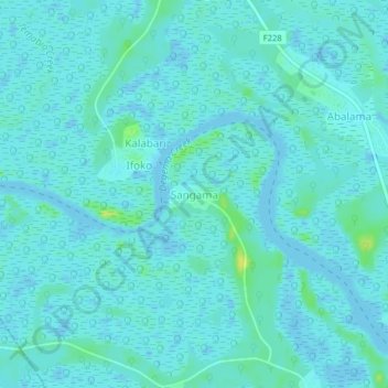
Name: Sangama topographic map, elevation, terrain.
Location: Sangama, Asari-Toru, Rivers State, Nigeria (4.73884 6.80005 4.77884 6.84005)
Average elevation: 3 m
Minimum elevation: -3 m
Maximum elevation: 18 m