
Cherokee County topographic map
Interactive map
Click on the map to display elevation.
About this map
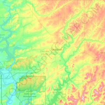
Name: Cherokee County topographic map, elevation, terrain.
Location: Cherokee County, Oklahoma, Vereinigte Staaten von Amerika (35.63860 -95.28278 36.16184 -94.79715)
Average elevation: 259 m
Minimum elevation: 147 m
Maximum elevation: 492 m