
Profondeville topographic map
Interactive map
Click on the map to display elevation.
About this map
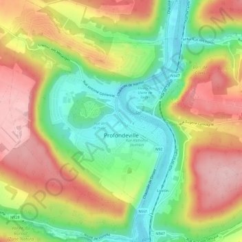
Name: Profondeville topographic map, elevation, terrain.
Location: Profondeville, Namur, Wallonia, 5160, Belgium (50.36070 4.84194 50.39582 4.88028)
Average elevation: 171 m
Minimum elevation: 76 m
Maximum elevation: 272 m