
Santo Tomas topographic map
Interactive map
Click on the map to display elevation.
About this map
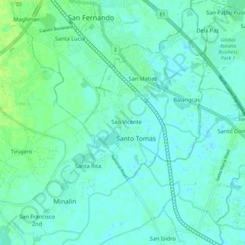
Name: Santo Tomas topographic map, elevation, terrain.
Location: Santo Tomas, Pampanga, Central Luzon, 2019, Philippines (14.95397 120.66457 15.03397 120.74457)
Average elevation: 4 m
Minimum elevation: -2 m
Maximum elevation: 11 m