
Emsdetten topographic map
Interactive map
Click on the map to display elevation.
About this map
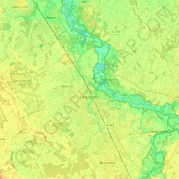
Name: Emsdetten topographic map, elevation, terrain.
Average elevation: 45 m
Minimum elevation: 29 m
Maximum elevation: 58 m
Other topographic maps
Click on a map to view its topography, its elevation and its terrain.
Isendorf
Duitsland > Noordrijn-Westfalen > Kreis Steinfurt > Emsdetten
Isendorf, Emsdetten, Kreis Steinfurt, Noordrijn-Westfalen, 48282, Duitsland
Average elevation: 42 m