
Phata topographic map
Click on the map to display elevation.
About this map
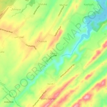
Name: Phata topographic map, elevation, terrain.
Location: Phata, Tehsil Kallar Syedan, Punjab, KS26 2AA, Pakistan (33.31089 73.50715 33.35089 73.54715)
Average elevation: 443 m
Minimum elevation: 352 m
Maximum elevation: 546 m