
Stripsenkopf topographic map
Interactive map
Click on the map to display elevation.
About this map
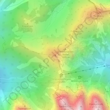
Name: Stripsenkopf topographic map, elevation, terrain.
Average elevation: 1,433 m
Minimum elevation: 991 m
Maximum elevation: 2,144 m
De Stripsenkopf is een berg in de deelstaat Tirol, Oostenrijk. De berg heeft een hoogte van 1.807 meter.