
Kamra topographic map
Click on the map to display elevation.
About this map
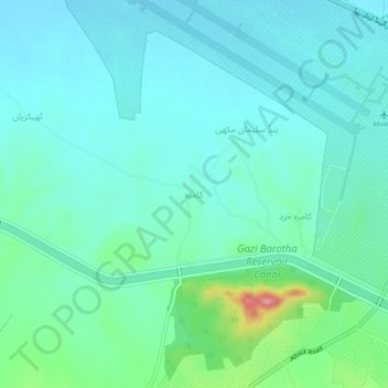
Name: Kamra topographic map, elevation, terrain.
Location: Kamra, District Attock, Punjab, Pakistan (33.83609 72.37414 33.87609 72.41414)
Average elevation: 337 m
Minimum elevation: 309 m
Maximum elevation: 455 m