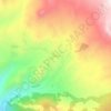
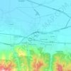
Karaman topographic map
Click on the map to display elevation.
Karaman
Karaman is a city in south central Turkey, located in Central Anatolia, north of the Taurus Mountains, about 100 km (62 mi) south of Konya. It is the capital district of the Karaman Province. According to 2000 census, the population of the province is 231,872 of which 132,064 live in the town of Karaman. The district covers an area of 3,686 km2 (1,423 sq mi), and the town lies at an average elevation of 1,039 m (3,409 ft). The Karaman Museum is one of the major sights.
About this map
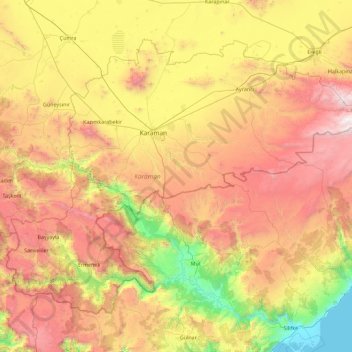
Name: Karaman topographic map, elevation, terrain.
Location: Karaman, Central Anatolia Region, Turkey (36.43584 32.46357 37.56573 34.26064)
Average elevation: 1,243 m
Minimum elevation: -1 m
Maximum elevation: 3,179 m
Other topographic maps
Click on a map to view its topography, its elevation and its terrain.
Eskisehir
Eskişehir has a cold semi-arid climate (BSk) under the Köppen climate classification, and a temperate continental climate (Dc) under the Trewartha climate classification. The city features cold, snowy winters and warm, dry summers. Rainfall occurs mostly during the spring and autumn. Due to Eskişehir's high…
Average elevation: 949 m
Tokat
Turkey > Tokat > Tokat Merkez
Tokat has a hot-summer Mediterranean climate, or alternatively a continental climate (Köppen: Csa, Trewartha: Dc). Due to the relatively high altitude and inland location, winters are fairly cold with average lows below the freezing point and significant snowfall.
Average elevation: 1,137 m

Mount Erciyes
The climate of the region is influenced by topography, with the Taurus and Kaçkar Mountains blocking the entry of moisture into Anatolia. Summers are dry and hot and winters wet and cold; in Kayseri, summer temperatures are about 19 °C (66 °F) and winter temperature about 0 °C (32 °F). Precipitation at…
Average elevation: 3,329 m