
Khairaput topographic map
Interactive map
Click on the map to display elevation.
About this map
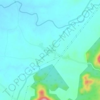
Name: Khairaput topographic map, elevation, terrain.
Location: Khairaput, Mudulipada, Malkangiri, Odisha, India (18.46519 82.21739 18.50519 82.25739)
Average elevation: 276 m
Minimum elevation: 251 m
Maximum elevation: 429 m