
Lenzing topographic map
Interactive map
Click on the map to display elevation.
About this map
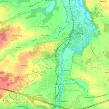
Name: Lenzing topographic map, elevation, terrain.
Location: Lenzing, Vöcklabruck, Opper-Oostenrijk, 4860, Oostenrijk (47.95097 13.59316 47.98792 13.64822)
Average elevation: 493 m
Minimum elevation: 447 m
Maximum elevation: 547 m