
Gaurikund topographic map
Interactive map
Click on the map to display elevation.
About this map
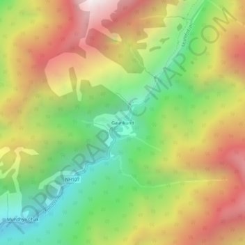
Name: Gaurikund topographic map, elevation, terrain.
Location: Gaurikund, Ukhimath, Rudraprayag, Uttarakhand, India (30.63340 79.00682 30.67340 79.04682)
Average elevation: 2,589 m
Minimum elevation: 1,749 m
Maximum elevation: 3,559 m
Other topographic maps
Click on a map to view its topography, its elevation and its terrain.